Is Manila Below Sea Level? (The Story Behind The Sinking & Floods)

From its epic sunsets to legendary battles, Manila Bay is a significant part of history and life around Metro Manila.
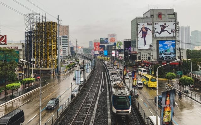
Approaching the city from the air, you can't miss the fish ponds and even impromptu houses that extend far into its water. It can be surprisingly hard to tell where land ends and the bay begins. And during Manila's infamous floods, the distinction vanishes altogether.
One gets the impression that the city is at least partly below sea level. But is that true? And if so, what does it mean for its inhabitants?
Table of Contents
Here's whether Manila is below sea level
Most of Metro Manila is between 5-10m above sea level, with higher elevations toward the east. However, some waterfront areas are slightly below sea level, and others are rapidly sinking due to groundwater extraction in the 1990s and 2000s. Combined with rising seas, several areas may be flooded in a few decades. Major areas at risk include most of the City of Manila proper, Pasay, and northern cities like Malabon and Navotas.
However, there are two caveats to keep in mind. First is that elevation data quality is limited for Manila. Second is that sea level rise projections are only estimates, and may be significantly off in either direction.
Regardless, it's an interesting and worrisome situation, so let's take a closer look.
Areas below sea level: a complicated question
As mentioned, elevation data quality is not as reliable for Manila as for most Western cities. That makes it difficult to say exactly what elevation ranges exist.
Compounding that problem is the fact that the land itself is sinking! This often creates a bowl-shaped depression in the terrain, which collects water rapidly during those heavy tropical downpours.
In some dramatic cases, like Reuters reported in nearby Sitio Pariahan (now underwater), it sinks by as much as 4 cm per year. In other words, that's much more than a foot every decade. When elevation is roughly at sea level in the first place, it's the difference between having land (albeit flood-prone) and having none.
Between rapid change and limited surveying budgets, it's impossible to find comprehensively accurate elevation data for this region.
So, just how much of Manila is below sea level? The glib but accurate answer is: more than was last year.
Even though precise topographical data are hard to come by, we can still get a sense of which parts of town are at risk of becoming part of the bay.
In 2019, Climate Central researchers built a forecast map of flood risk in 2050 for major cities around the world.
The red areas below are what they project to lie below the water level in about three decades.

(Source: Climate Central)
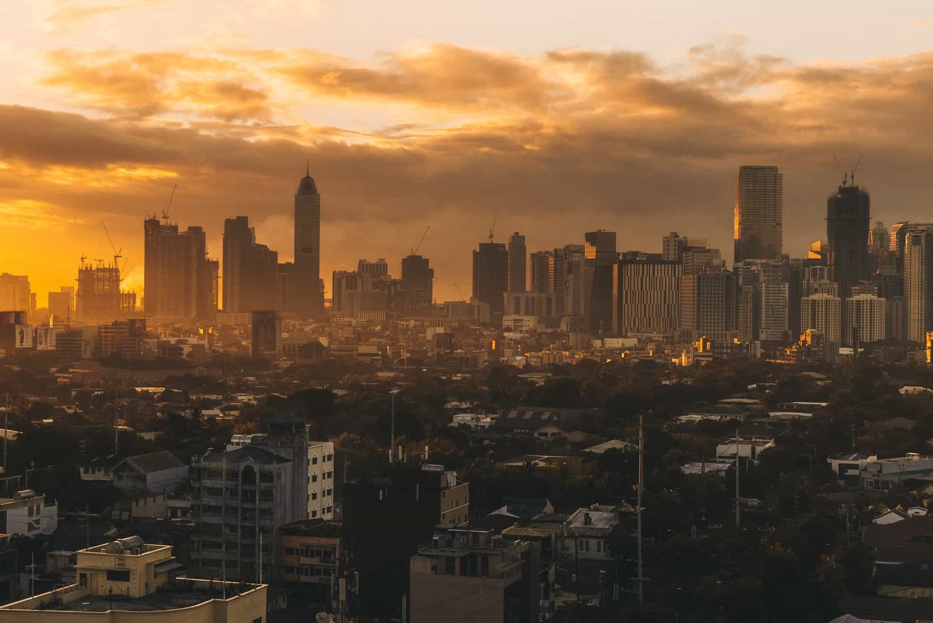
Note that nearly the entire City of Manila--one of the densest urban areas in the world--is at risk. Besides portions of the central Malate and Ermita districts, nearly all of the city proper may find itself perpetually flooding if their sea level forecasts are correct.
The same goes for Pasay and parts of Cavite City to the south, not to mention almost the whole northern area of Metro Manila's shoreline.
You'll notice that the perma-flood risk is far heavier toward the northern half of the metro's coast. It's probably not a coincidence that that's where construction and groundwater extraction (more on that below) were most intensive in the 1990s and 2000s.
In other words, while today's waterfront cities in the NCR are at least 1-2m above sea level, there is reason to worry that they'll fall below sea level in the future. That would effectively turn places like Quezon City and Mandaluyong into the new coastline.
Footage like this makes it obvious at a glance that poor shoreline communities are partially below sea level right now.
[video width="1254" height="706" mp4="https://manilafyi.com/wp-content/uploads/2021/02/manila-sea-level.mp4"][/video]
(Source: New York Times)
Notice how the houses nearest the seawall are on tall stilts, perhaps 3 meters or more? That gives an indication of just how low the waterfront land is in places, and how dramatic the floods can be at such elevations.
Why is Manila prone to flooding?
Clearly, elevation and weather are obvious factors in Metro Manila's flooding. However, human intervention (like intensive groundwater extraction) has worsened flooding by causing ground to sink at an unnatural rate.
Since waterfront portions of Manila are often under 5 meters below sea level, tropical rains don't run off very quickly or effectively.
The elevation and rains are inherent to tropical coastlines, of course.
But construction projects have exacerbated flood risks significantly. The New York Times reports that, "a proliferation of fish ponds and the rapid extraction of groundwater" have caused the ground to sink rapidly, rendering houses uninhabitable even as residents raised their floors annually.
According to the Philippine Daily Inquirer, groundwater extraction has been illegal since 2015. However, that follows more than two decades of rapid extraction to support even more rapid construction. Unfortunately, as the population continues to grow, demand for water will only increase, which may make the zero-extraction policy hard to uphold.
Today, floods have been a regular occurrence in many parts of town. Many locals, even from slightly inland districts, will recount swimming in the flooded streets as children!
That might sound quaint and charming, but it's a symptom of an existential threat to millions. Besides the obvious property and infrastructure damage, the WHO notes that floods also contribute to disease by creating breeding grounds for dengue, cholera, and typhoid, among many others.
The impact of flooding in Manila
Every Manileño knows the inconvenience and dangers of flooding, but as is so often the case, the poorest bear the brunt of the impact.
Waterfront areas of Manila have the highest population density and most likely the highest concentration of poverty (as this University College London report implies). In other words, severely flood-prone and rapidly sinking areas are also home to disproportionately many people who cannot easily leave.
Millions of overwhelmingly poor locals desperately need flood mitigation. That, in turn, requires understanding why these floods are so severe in the first place.
This report from Channel NewsAsia gives an interesting overview of other impacts of flooding, and efforts to combat them.
Land reclamation around Manila Bay
Many, perhaps most, coastal cities have expanded partly by "reclaiming" from the sea. Manila is no exception, having already reclaimed 876.5 hectares for three major projects: Bay City (home of the Mall of Asia and several casino/resort complexes), the Harbour Centre, and the Port.
That amount may nearly triple in the next decade or so, as already approved or ongoing projects are completed. Other proposed projects could reclaim still another couple thousand hectares if approved.
All of this new land is designed to resist flooding, of course, but it's still within just a few meters of sea level. There's also significant concern that reclamation may increase the flood risk of adjacent areas.
All that makes it a little hard to answer the question of whether Manila is below sea level. It's somewhat of a moving target!
Why reclaim land in the first place? Well, the region is developing much more rapidly northward and southward, to be sure. It's not as if the powers that be prefer Waterworld to conventional (and far cheaper) development. But with massive traffic problems (as I've covered here), and more mountainous terrain to the east, there's a powerful incentive to increase the supply of centrally located land. Will its precarious elevation and storm-battered, flood-prone location prove troublesome? Time will tell, but authorities and developers are betting against that so far.
Conclusion: changing elevation & rising seas
Most of the NCR is very slightly above sea level, although many parts (especially within a couple miles of Manila Bay) are slightly below, and some sinking at an alarming rate.
That sinking, plus runoff issues caused by haphazard development, makes most of the area prone to severe and frequent flooding. This has already impacted many poor communities for decades, since they often cannot move away.
More recently, some scientists have predicted floods over entire waterfront cities in the NCR by the year 2050. That's a frightening scenario, but in theory, better planning and development steps should avoid the worst of it. The bigger question is whether local leaders will find the political, social, and financial wherewithal to act accordingly.